Sion
The site is located to the south of the city of Sion and is a 13-hectare former industrial area undergoing changes in the coming decades. Bordered to the north by the new Energypolis Campus (which includes premises of the EPFL, the HES-SO, and the Ark Foundation) and to the south by the highway, the Rhône runs through the heart of the area, making it a particularly strategic space for creating new links between the city and its river. With this in mind, the research aims to explore through the architectural project the multiple issues and potentialities of such an evolution. At the programmatic level, the prospective principle of a certain mix of housing and activities serves as a basis for the visions. In addition, increased attention is given to the issue of housing in an urban environment. Relevant reflections on the establishment of a building part of the university campus - as well as a diversity of public spaces with respect to the singular characteristics of the site - are also part of the approach.
+ INFOS
INFOS X
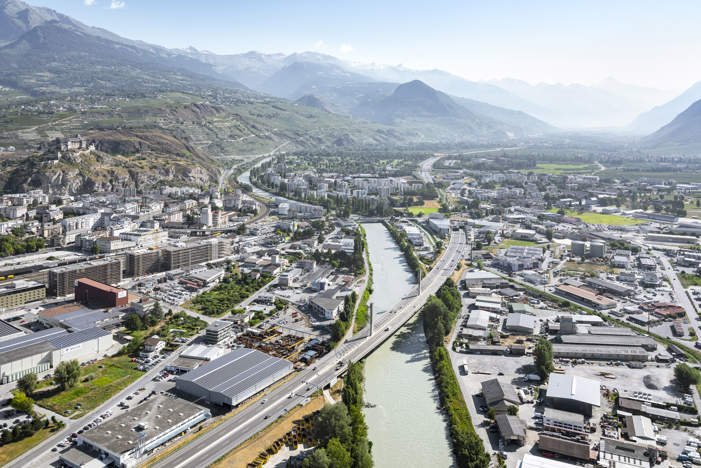
Aerial view of the Rhône in Sion: the growing urbanization of the city has joined the dammed river, which intertwines with the mobility infrastructure.
[photo © Nicolas Sedlatchek]
[photo © Nicolas Sedlatchek]
+ INFOS
INFOS X
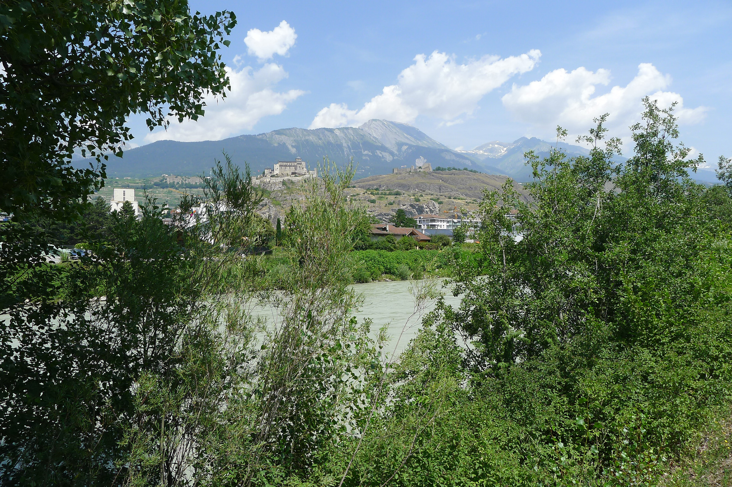
View of the study site in Sion: the landscape and ecological qualities of the riparian zone on the left bank of the river interact with the built heritage of the city.
[photo © LAST]
[photo © LAST]
+ INFOS
INFOS X
View of the study site in Sion: the industrial built fabric located between the highway and the Rhône has few links with the river.
[photo © LAST]
[photo © LAST]
+ INFOS
INFOS X
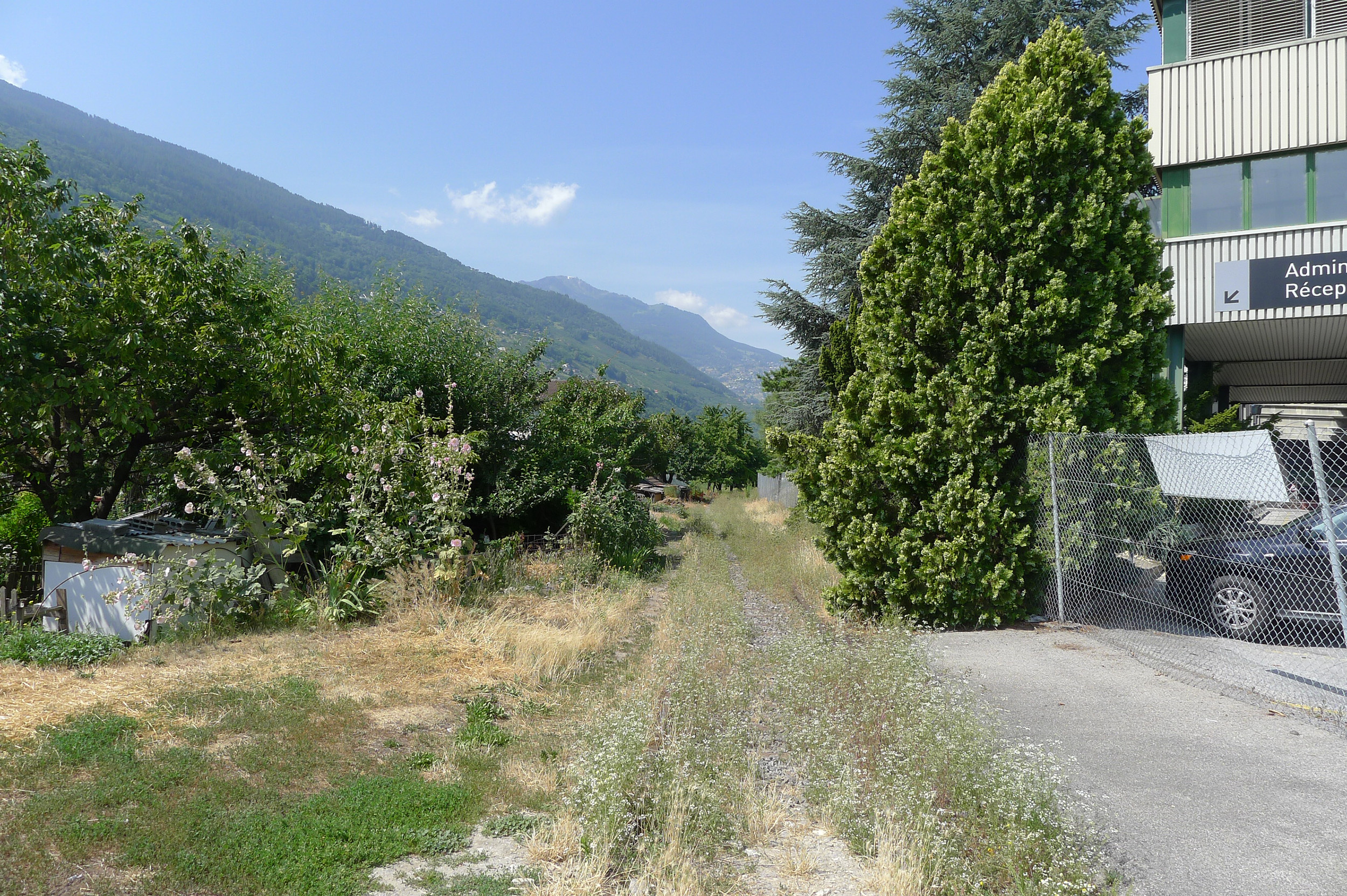
View of the study site in Sion: a strip of historic orchards and vegetable gardens testifies to the former uses of the plots along the Rhône.
[photo © LAST]
[photo © LAST]
+ INFOS
INFOS X
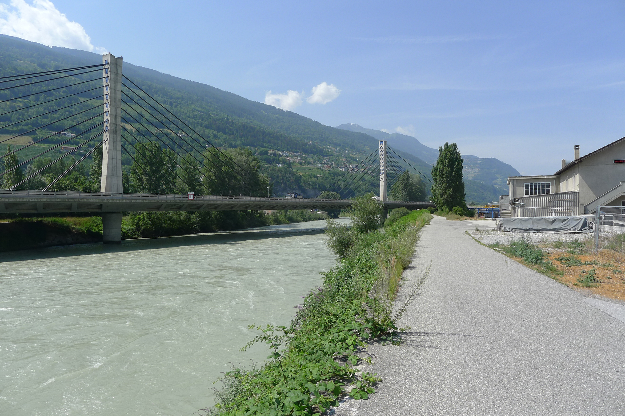
View of the study site in Sion: the right bank of the Rhône offers a relatively narrow and undeveloped public promenade.
[photo © LAST]
[photo © LAST]
+ INFOS
INFOS X
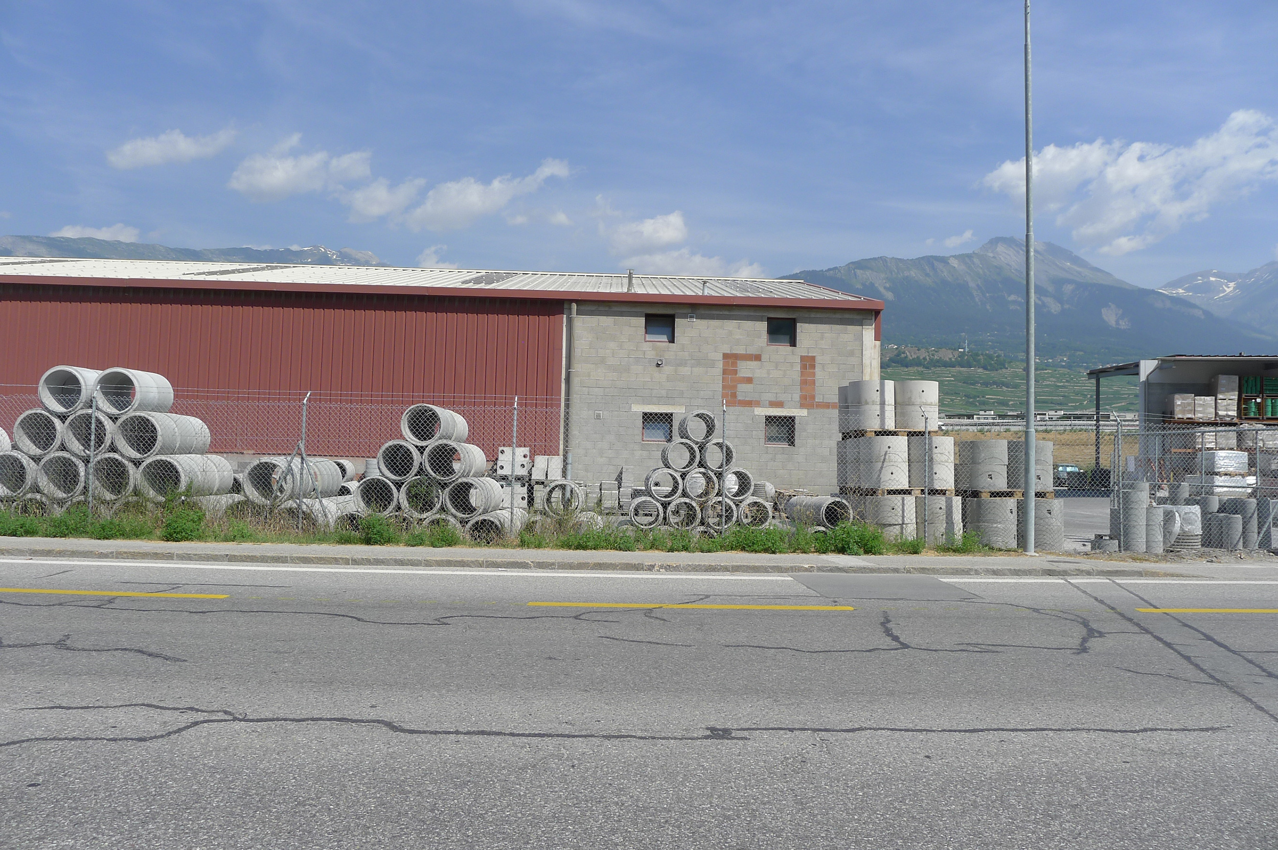
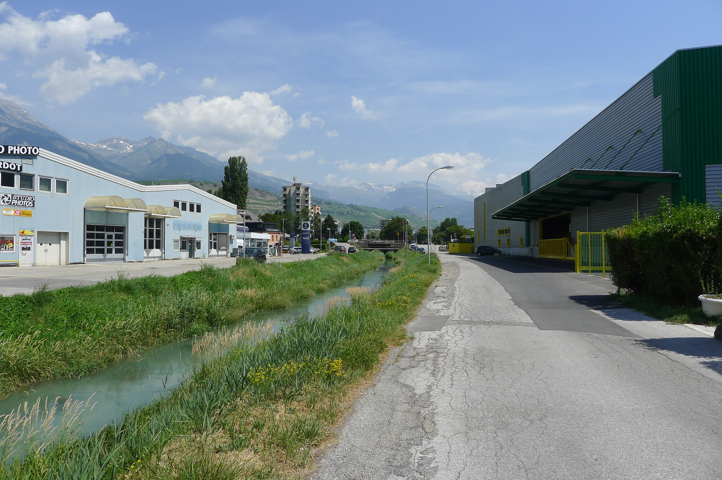
View of the study site in Sion: on the left bank of the Rhône, the Vissigen canal is bordered by asphalt, which allows access to the industrial halls.
[photo © LAST]
[photo © LAST]
+ INFOS
INFOS X
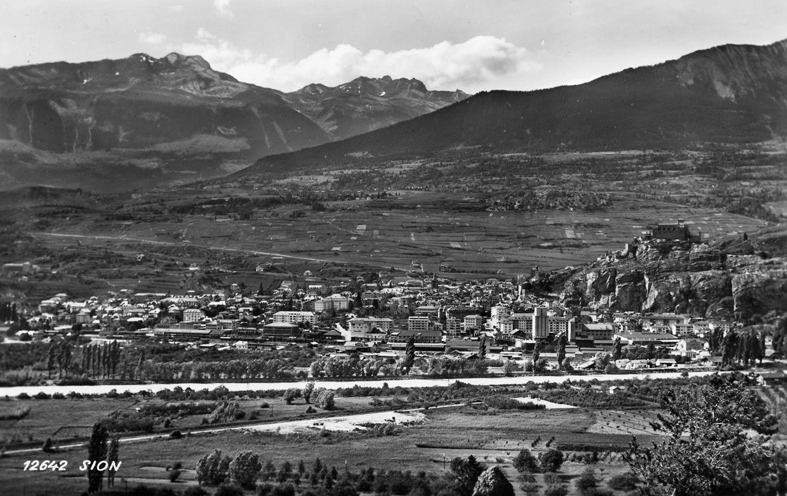
View of the study site in the 1950s, postcard: at that time, all the land of the site bordering the Rhône was dedicated to fruit cultivation and market gardening.
[private collection]
[private collection]
+ INFOS
INFOS X
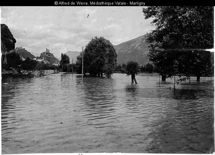
Flood of the Rhône in 1902: the major floods of the Rhône, affecting all or a large part of the valley floor, concern the years 1469, 1640, 1726, 1728, 1740, 1764, 1766, 1778, 1782, 1834, 1839, 1849, 1850, 1857, 1860, 1862, 1866, 1868, 1879, 1882, 1897, 1901, 1902, 1920, 1948, 1987, 1993, and 2000.
[Médiathèque du Valais]
[Médiathèque du Valais]
+ INFOS
INFOS X
Analytical map "Mobility": in the long term, Sion's mobility network will include efficient interconnections, while giving priority to pedestrian and cycle paths between the city center and the Rhône. A new passage across the SBB tracks to the east of the station will improve the sustainable mobility network between the city center and the Ronquoz 21 neighborhood. a new public cableway between downtown Sion and the Mayens de l'Ours will facilitate access to the mountain. Finally, a new bridge over the Rhône, west of the study site, will allow better management of motorized traffic.
[map © LAST]
[map © LAST]

+ INFOS
INFOS X
Analytical map "Public amenities": while they are relatively numerous and distributed in the northern part of the city, the southern side shows fewer public amenities, particularly with respect to retail.
[map © LAST]
[map © LAST]
