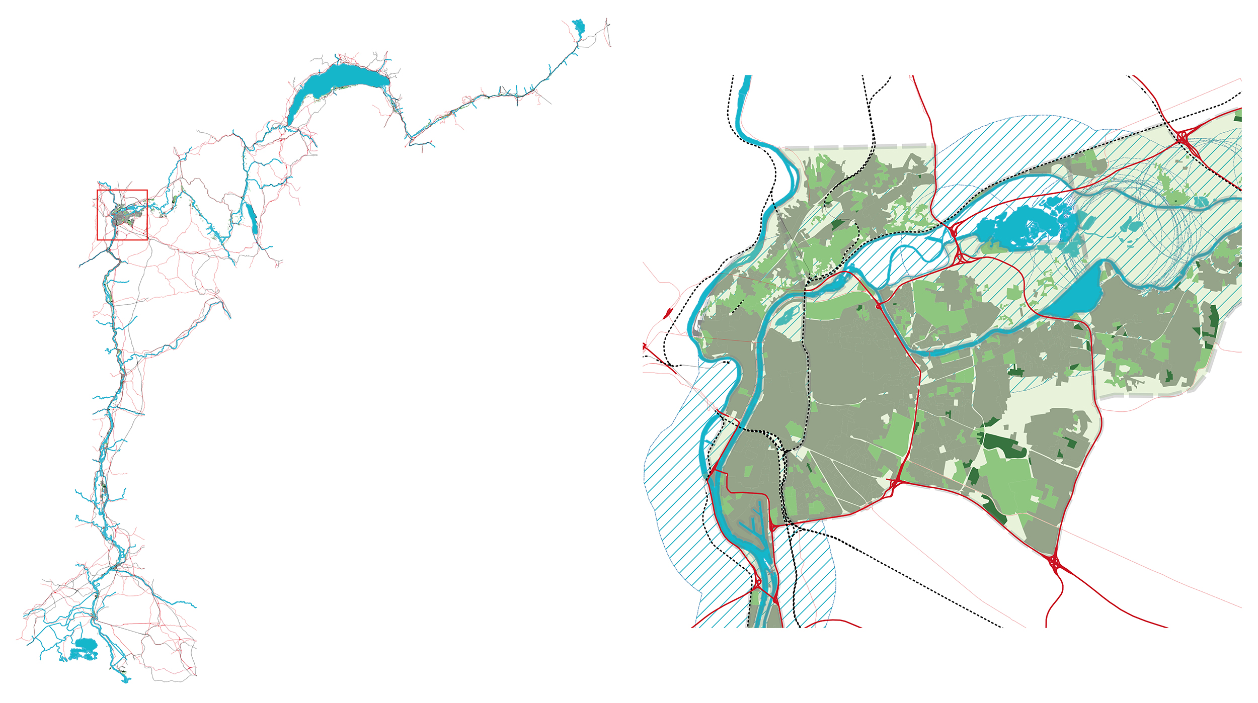
Potential of the rhodanian neighborhoods
A careful inventory of the territory along the Rhône aims to collect relevant data on the sites adjacent to the river, from the glacier to the sea. In a perspective of transitions towards sustainability, it is more precisely a question of identifying and quantifying the sites likely to be part of a dynamic of change at the neighborhood scale. The inventory is developed using cartographic data and produces an unprecedented analysis of the urban shorelines in terms of their urbanization. This information - relating to more than 5’000 sites - will ultimately make it possible to produce various thematic syntheses and representations in the form of drawings, diagrams, and charts. These outcomes will reveal the potential for development, both from a quantitative and qualitative point of view, of rhodanian neighborhoods.
Study sites
The approach focuses on developing project-based visions applied to study sites that are in the process of regeneration and show potential for evolution in terms of a new city-river balance. The underlying goal is to confront the diversity of situations. Following the Rhône as a common thread, four study sites were selected, one per hydraulic entity (excluding Lake Geneva and the Delta): one site in Sion located along the Rhône alpestre, one site in Geneva located along the Haut Rhône, one site in Givors (Greater Lyon metropolis) located along the Rhône moyen, and one site in Avignon located along the Rhône inférieur.


